 View larger
Upload your photo
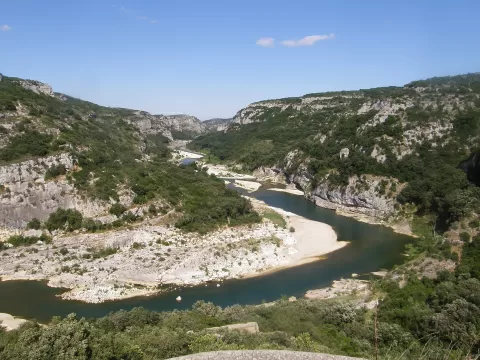
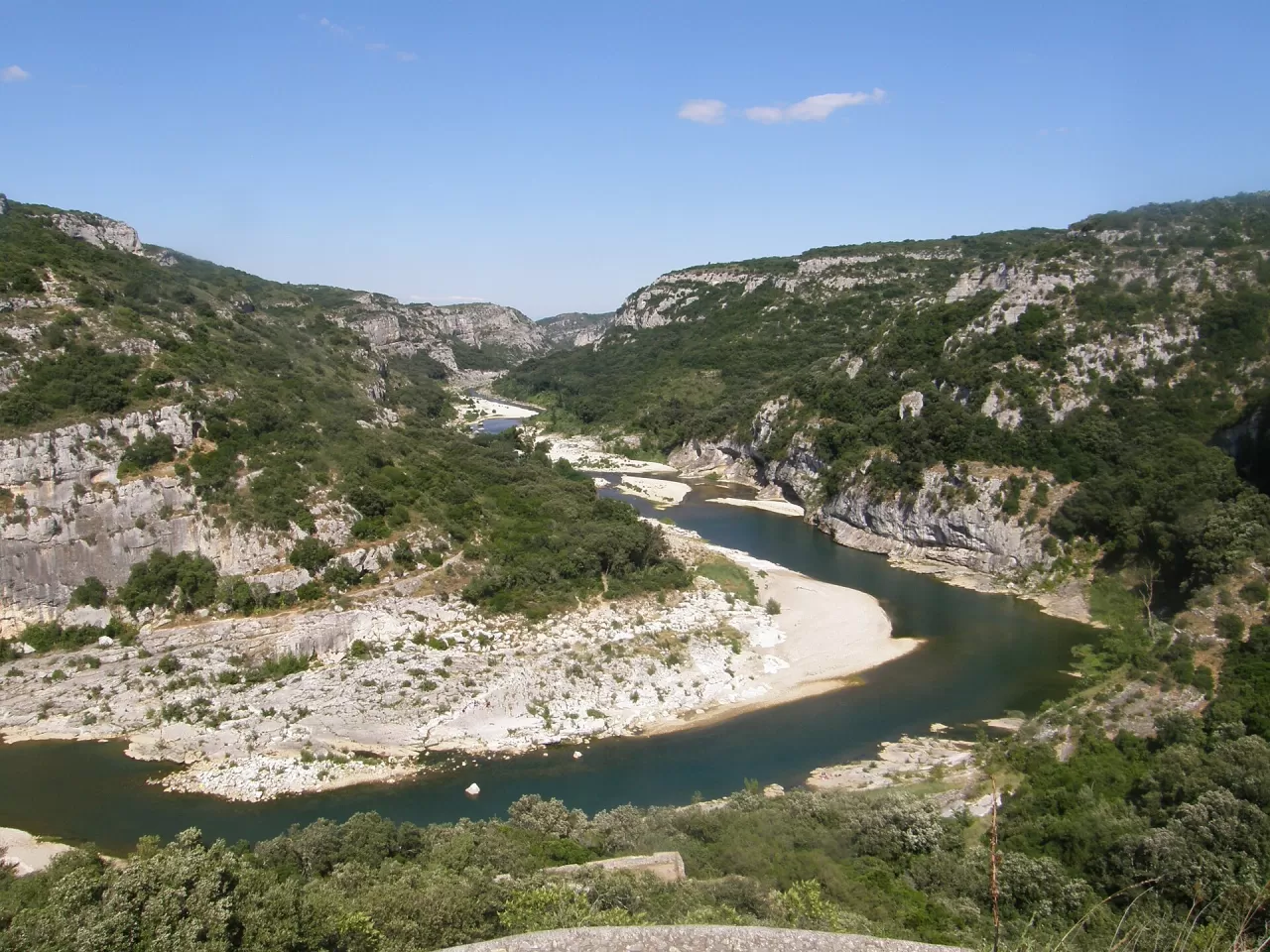
Gorges du Gardon
No reviews yet
Do you like this place? Be the first to vote
The Gorges du Gardon run for about 29 km in the Gard, from Dions to the Pont du Gard, carved into the limestone. In 2015 UNESCO declared a 455 km² area of 26 municipalities around the canyon a biosphere reserve, with a core of 78 km².
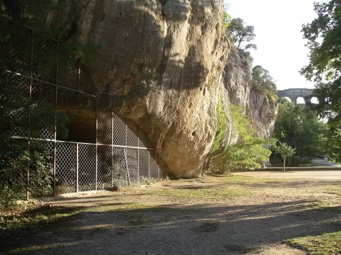
In summer the river disappears underground in its first stretch and re-emerges kilometres downstream; in autumn, floods can reach 5,000 m³ per second. There are more than twenty caves with traces of human presence and, deep in the canyon, the hermitage of the Baume de Saint-Vérédème, a place of pilgrimage until 1960. The gorges end at the Roman aqueduct of the Pont du Gard.
In the Baume Latrone, in Sainte-Anastasie, there are paintings and engravings over 30,000 years old. The canyon is home to about three pairs of Bonelli's eagles and 23 of France's 34 bat species, and receives about 450,000 visitors a year.
What Gorges du Gardon has to offer
More rivers and lakes in Gard More caves and rock formations in Gard More hiking trails in Gard
Best time to photograph Gorges du Gardon today, 21 November
- Sunrise7:44 – 8:44golden hour
- Sunset16:11 – 17:11golden hour
- Blue hour17:11 – 17:42at dusk
The still water early in the morning gives you perfect reflections.
Hashtags for your photos of Gorges du Gardon
Upload your photo with #fotoMap and help more people discover this spot. The one with the most votes becomes the cover photo.
Reviews of Gorges du Gardon
Nobody has said what it's like yet. Have you been? Be the first to tell us.
Write a review