 See all 6 photos
Upload your photo
Gennargentu National Park
No reviews yet
Do you like this place? Be the first to vote
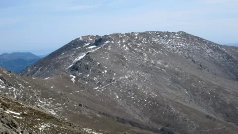
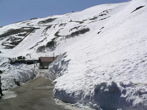
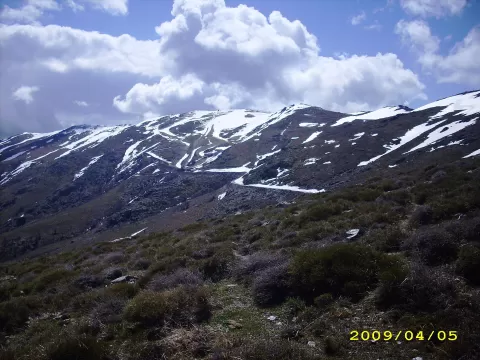
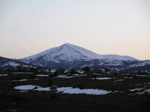
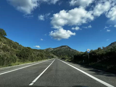
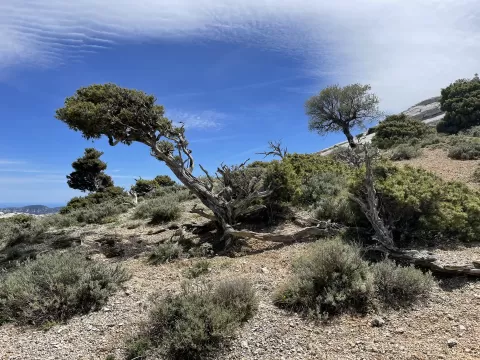
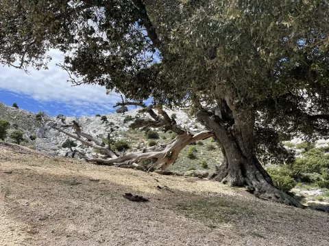
The Gulf of Orosei and Gennargentu National Park was established in 1998 in central-eastern Sardinia, over some 74,000 hectares. Its management bodies were never set up, so on paper it exists but it does not function as a park.
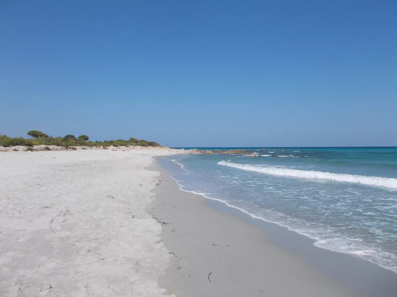
It includes the Gennargentu massif, with Punta La Marmora, 1,834 metres, the highest peak on the island, and the limestone plateaus of the Supramonte. On the coast, Cala Luna beach can be reached on foot through the Codula di Luna canyon, about 22 km and eight hours' walking.
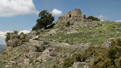
In the Supramonte is the Gorropu gorge, carved by the Flumineddu river, with walls more than 400 metres high, and the archaeological village of Tiscali, hidden inside a sinkhole.
What Gennargentu National Park has to offer
More viewpoints in Nuoro More hiking trails in Nuoro
Best time to photograph Gennargentu National Park today, 22 November
- Sunrise7:15 – 8:15golden hour
- Sunset16:01 – 17:01golden hour
- Blue hour17:01 – 17:31at dusk
At sunrise and sunset, low-angled light brings out the landscape's texture. Arrive 20 minutes early to get a good spot.
Hashtags for your photos of Gennargentu National Park
Upload your photo with #fotoMap and help more people discover this spot. The one with the most votes becomes the cover photo.
Reviews of Gennargentu National Park
Nobody has said what it's like yet. Have you been? Be the first to tell us.
Write a review