 See all 6 photos
Upload your photo
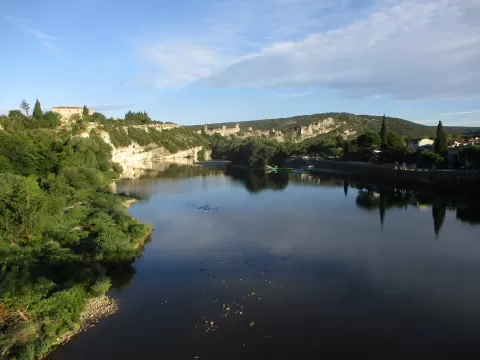
Gargantas del Ardèche
No reviews yet
Do you like this place? Be the first to vote
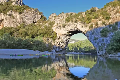
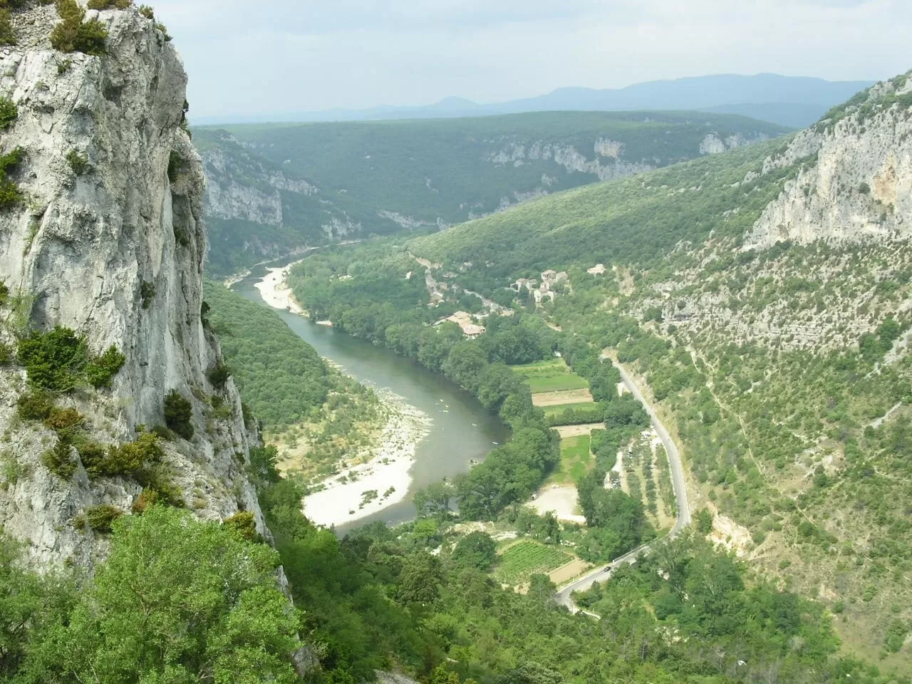
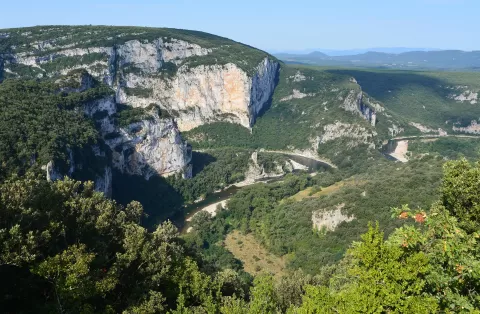
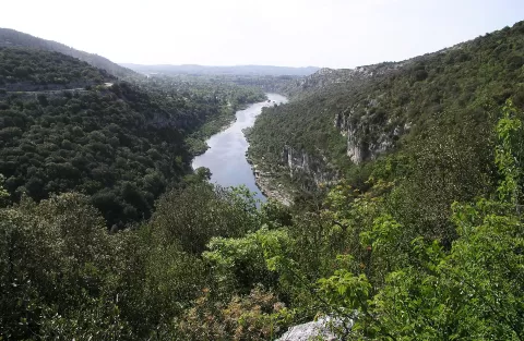
The Gorges de l'Ardèche form a limestone canyon about 30 km long between the Pont d'Arc, in Vallon-Pont-d'Arc, and Saint-Martin-d'Ardèche. Since 1980 they have been a 1,575-hectare nature reserve. At the entrance stands the Pont d'Arc, a natural arch 54 metres high and 59 metres long that the river opened by cutting through a meander.
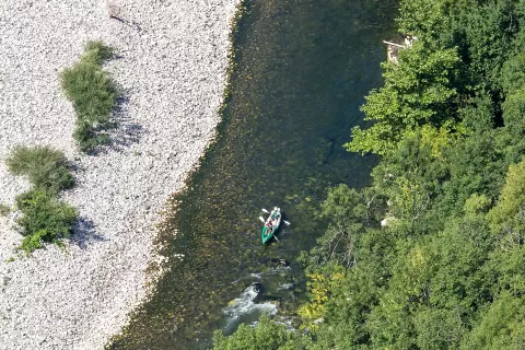
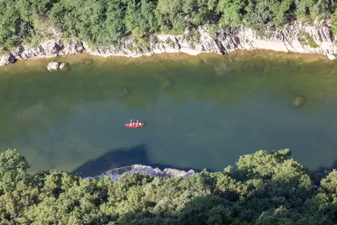
The D290 scenic road, 29 km long and opened in 1969, has eleven viewpoints, such as the Serre de Tourre, and is used by 1.2 million visitors a year. The canoe descent, about 33 km, takes one or two days with a night at the Gaud or Gournier bivouacs, the only places where camping is allowed, along with the Templiers beach.
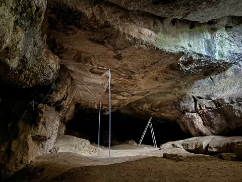
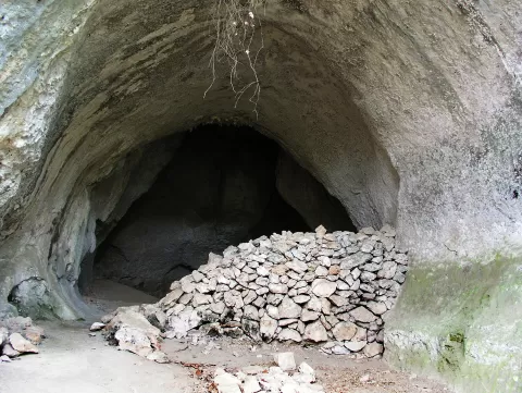
The Chauvet Cave, with some of the oldest cave paintings in the world, is closed, but has a replica open to visitors. In floods the flow can go from a few cubic metres to more than 7,000 per second within hours.
What Gargantas del Ardèche has to offer
More viewpoints in Gard More hiking trails in Gard
Best time to photograph Gargantas del Ardèche today, 21 November
- Sunrise7:45 – 8:45golden hour
- Sunset16:10 – 17:10golden hour
- Blue hour17:10 – 17:41at dusk
At sunrise and sunset, low-angled light brings out the landscape's texture. Arrive 20 minutes early to get a good spot.
Hashtags for your photos of Gargantas del Ardèche
Upload your photo with #fotoMap and help more people discover this spot. The one with the most votes becomes the cover photo.
Reviews of Gargantas del Ardèche
Nobody has said what it's like yet. Have you been? Be the first to tell us.
Write a review