 See all 6 photos
Upload your photo
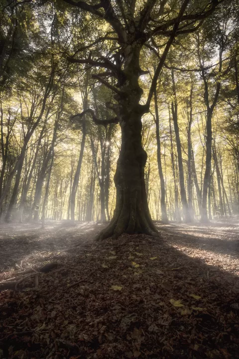
Gargano National Park
No reviews yet
Do you like this place? Be the first to vote
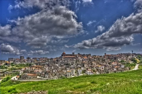
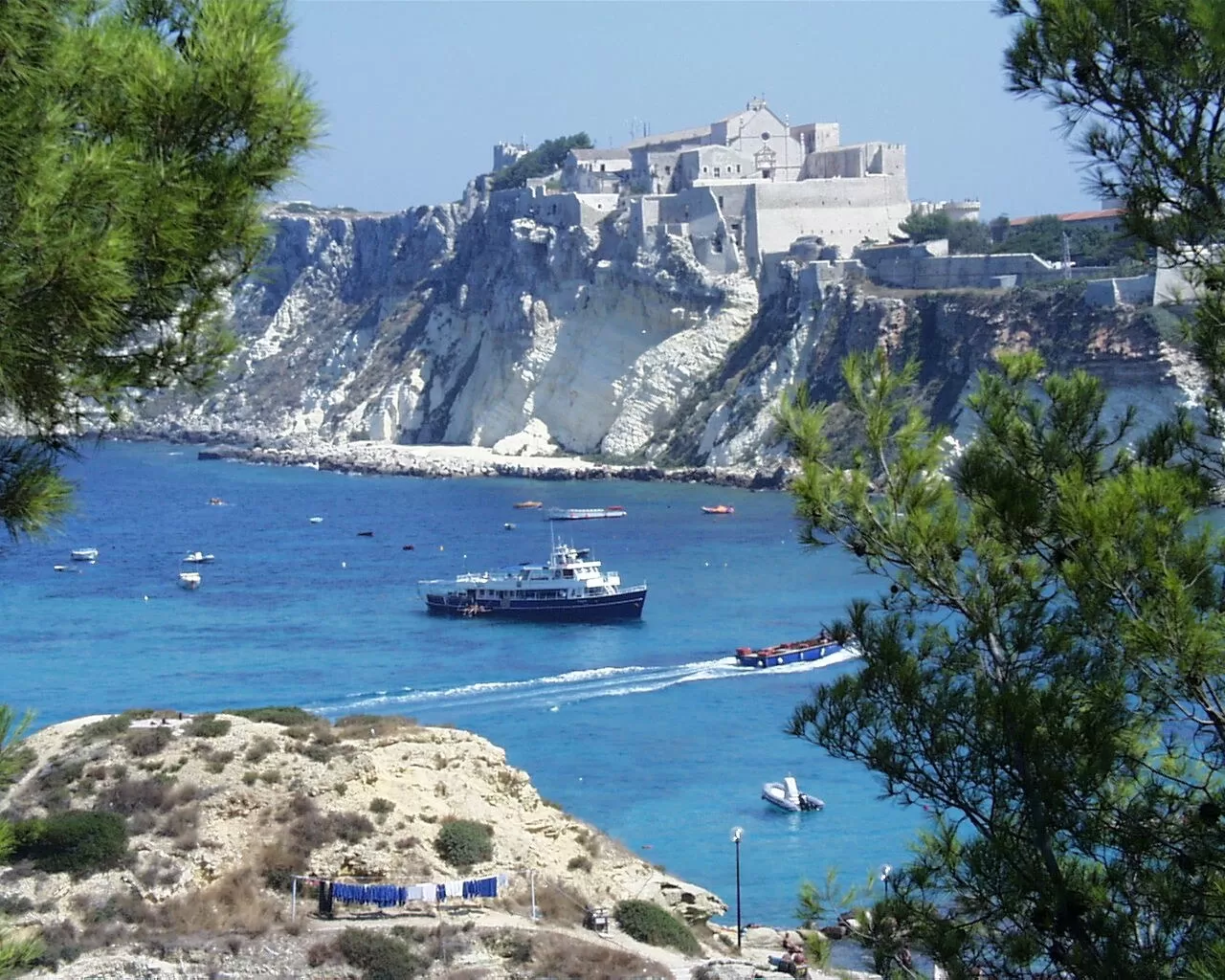
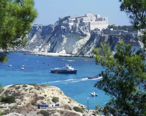
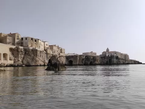
Gargano National Park was created in 1991 on the Gargano promontory, the spur of the Italian boot, in the province of Foggia. At about 1,181 km² it is one of the largest protected areas in the country and includes the marine reserve of the four Tremiti Islands.
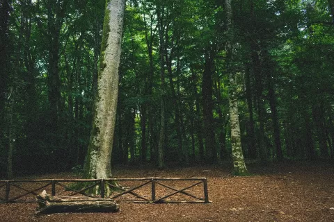
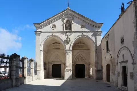
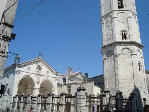
Inland lie the Foresta Umbra and the town of Monte Sant'Angelo; on the coast, Vieste, Peschici, Rodi Garganico and Mattinata. To the north stretch the lakes of Lesina, 24 km long, and Varano, which at 60.5 km² is the largest in southern Italy.
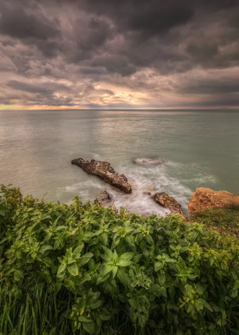
Between Vieste and Mattinata there are more than a hundred sea caves and limestone stacks. The best known is the Pizzomunno, a white monolith next to the beach at Vieste, and there are others off Mattinata, Peschici and Rodi Garganico.
What Gargano National Park has to offer
More viewpoints in Foggia More hiking trails in Foggia
Best time to photograph Gargano National Park today, 21 November
- Sunrise6:52 – 7:52golden hour
- Sunset15:31 – 16:31golden hour
- Blue hour16:31 – 17:01at dusk
At sunrise and sunset, low-angled light brings out the landscape's texture. Arrive 20 minutes early to get a good spot.
Hashtags for your photos of Gargano National Park
Upload your photo with #fotoMap and help more people discover this spot. The one with the most votes becomes the cover photo.
Reviews of Gargano National Park
Nobody has said what it's like yet. Have you been? Be the first to tell us.
Write a review