 See all 6 photos
Upload your photo

Ganekogorta
No reviews yet
Do you like this place? Be the first to vote
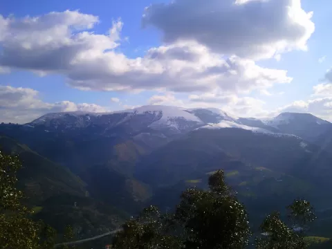
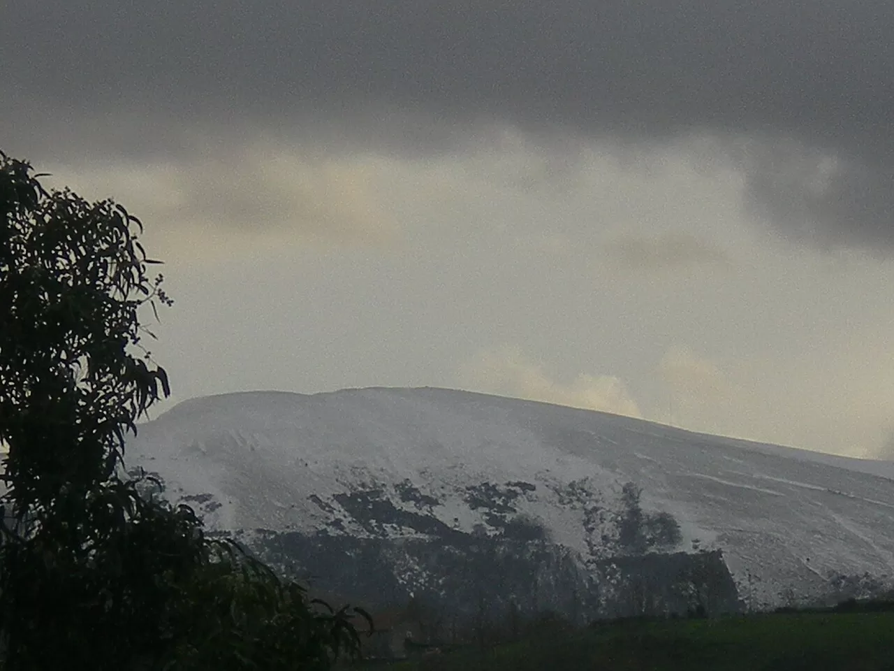
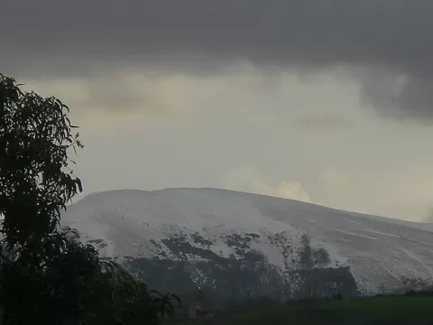
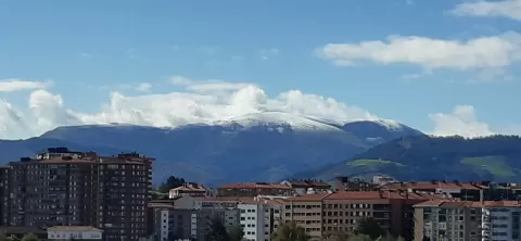
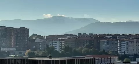
Ganekogorta, at 999 metres, is the highest summit of the hills south of Bilbao. It lies in the municipality of Alonsotegi, about 10 metres from the boundary with Álava and north of Llodio. It was one of the five "bocinero" mountains of Biscay (where horns were sounded to summon the assemblies), and Basque mountaineering was born on it: the first Biscayan mountaineering association, from 1870, was called "los ganekogortos".
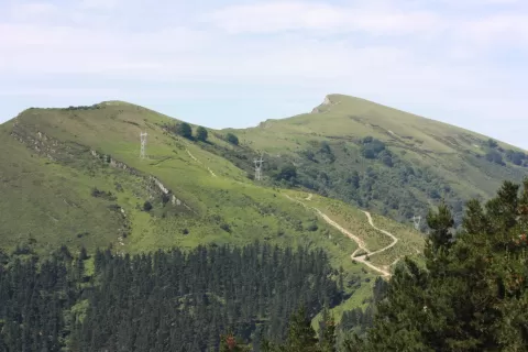
The main route first passes over Pagasarri and follows the forest track south to the Muñagane col, where the path to the summit begins. From Zollo or Llodio the climb is hard because of the height gain. The ridge has three summits: Biderdi, the central one and Galarraga.
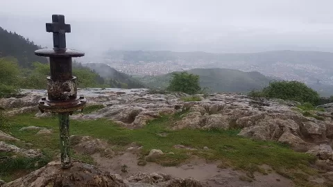
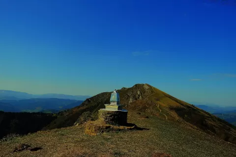
At the top there is a trig point from 1967 and an orientation table from 2005. To the north you can see the whole of Bilbao with Pagasarri and Sollube; to the north-east, Oiz, and to the east, the crags of the Duranguesado. The south face is a rocky ravine that gives the best profile.
What Ganekogorta has to offer
More viewpoints in Álava More hiking trails in Álava
Best time to photograph Ganekogorta today, 21 November
- Sunrise8:12 – 9:12golden hour
- Sunset16:43 – 17:43golden hour
- Blue hour17:43 – 18:14at dusk
At sunrise and sunset, low-angled light brings out the landscape's texture. Arrive 20 minutes early to get a good spot.
Hashtags for your photos of Ganekogorta
Upload your photo with #fotoMap and help more people discover this spot. The one with the most votes becomes the cover photo.
Reviews of Ganekogorta
Nobody has said what it's like yet. Have you been? Be the first to tell us.
Write a review