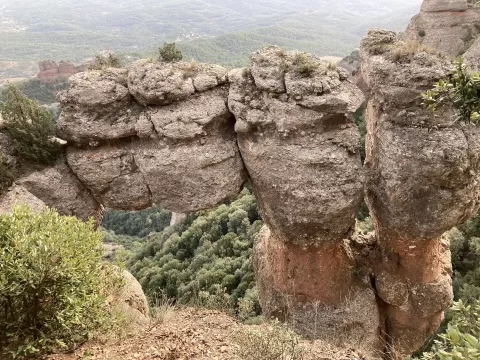
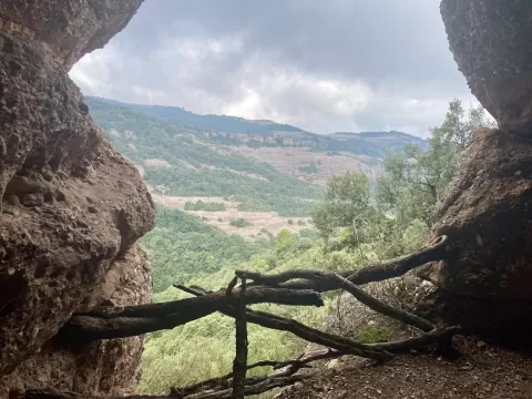
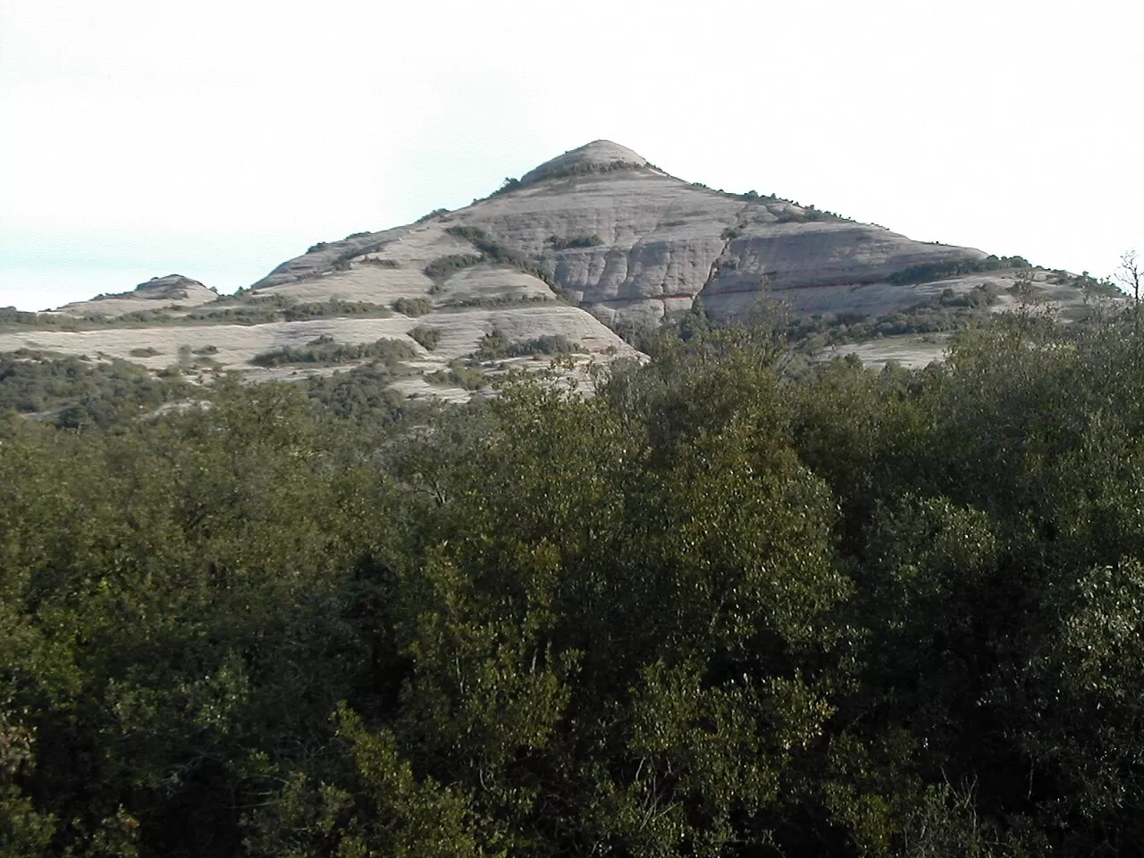
 See all 6 photos
Upload your photo
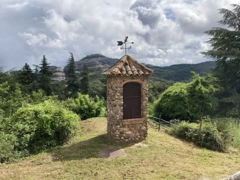
El Montcau
No reviews yet
Do you like this place? Be the first to vote
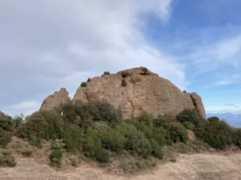
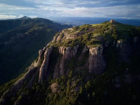
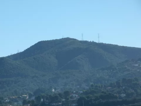
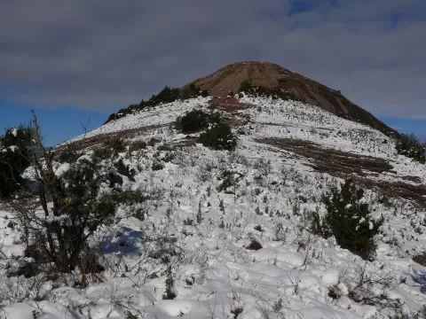
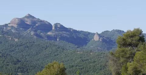
El Montcau, at 1057 metres, is the second highest summit of the Sant Llorenç del Munt massif and of the Vallès Occidental. It rises north of La Mola, between Sant Llorenç Savall and Mura, within the Parc Natural de Sant Llorenç del Munt i l'Obac. It is made of conglomerate and mudstone and belongs to the Pre-Coastal Range.
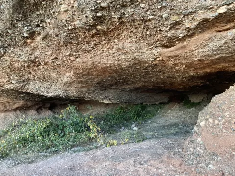
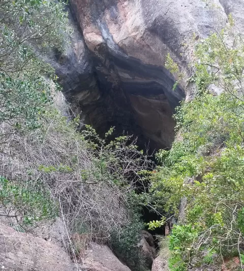
The usual ascent starts from the Coll d'Estenalles, at 870 metres, on the BV-1221 road between Terrassa and Navarcles, where there is a car park and a park information centre. The path goes via the Coll d'Estella and the Coll d'Eres, past a necropolis, and the Simanya caves are nearby.
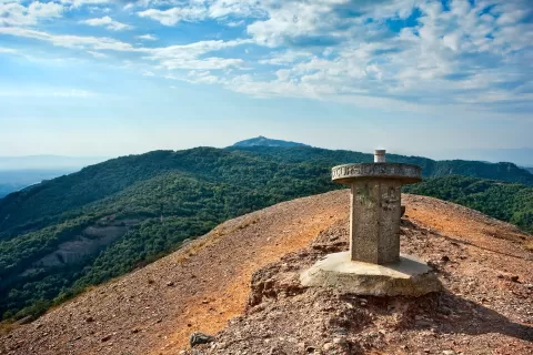
At the summit there is a trig point and a viewpoint indicator to identify the landscape. The view north takes in the Bages and, in the distance, the Pyrenees: that is the direction that rules the photo.
What El Montcau has to offer
More viewpoints in Barcelona More hiking trails in Barcelona
Best time to photograph El Montcau today, 21 November
- Sunrise7:48 – 8:48golden hour
- Sunset16:27 – 17:27golden hour
- Blue hour17:27 – 17:57at dusk
At sunrise and sunset, low-angled light brings out the landscape's texture. Arrive 20 minutes early to get a good spot.
Hashtags for your photos of El Montcau
Upload your photo with #fotoMap and help more people discover this spot. The one with the most votes becomes the cover photo.
Reviews of El Montcau
Nobody has said what it's like yet. Have you been? Be the first to tell us.
Write a review