 See all 6 photos
Upload your photo
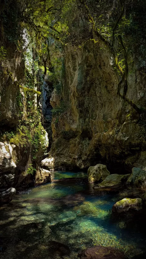
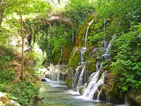
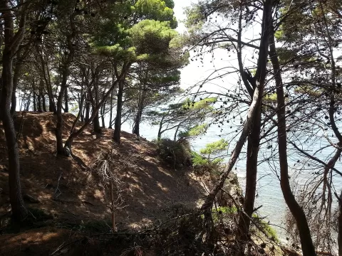
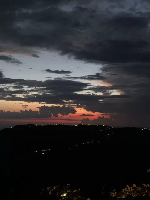
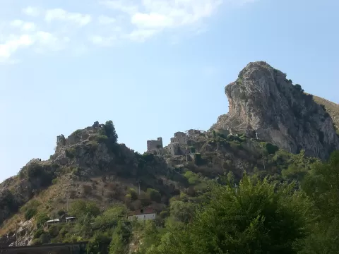
Cilento
No reviews yet
Do you like this place? Be the first to vote
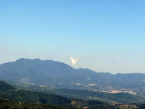
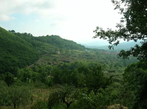
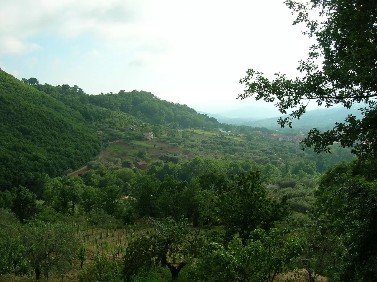
The Cilento, Vallo di Diano and Alburni National Park was created in 1991 and today covers about 181,000 hectares in the south of the province of Salerno, between the Sele plain, Basilicata and the Tyrrhenian Sea, with 80 municipalities. It has been a World Heritage Site since 1998, together with Paestum, Velia and the Certosa di Padula, and in 2010 it became the first Italian national park to be declared a geopark.
Its main peaks are Cervati (1,898 m), the Alburni (1,742 m) and Gelbison or Sacro Monte (1,705 m). Within it lie archaeological sites such as Paestum and Elea-Velia, and its headquarters is in Vallo della Lucania.
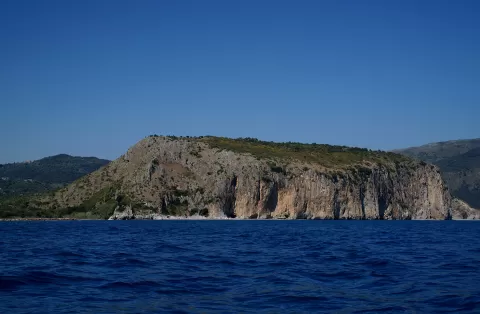
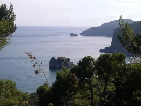
The coast is low and sandy from the Sele to Agropoli and between Casal Velino and Ascea; the rest is high and rocky, riddled with grottoes and coves. On its rock faces grows the Palinuro primrose, one of the 1,800 plant species recorded.
What Cilento has to offer
More viewpoints in Salerno More caves and rock formations in Salerno More hiking trails in Salerno
Best time to photograph Cilento today, 21 November
- Sunrise6:51 – 7:51golden hour
- Sunset15:38 – 16:38golden hour
- Blue hour16:38 – 17:07at dusk
At sunrise and sunset, low-angled light brings out the landscape's texture. Arrive 20 minutes early to get a good spot.
Hashtags for your photos of Cilento
Upload your photo with #fotoMap and help more people discover this spot. The one with the most votes becomes the cover photo.
Reviews of Cilento
Nobody has said what it's like yet. Have you been? Be the first to tell us.
Write a review