 See all 6 photos
Upload your photo
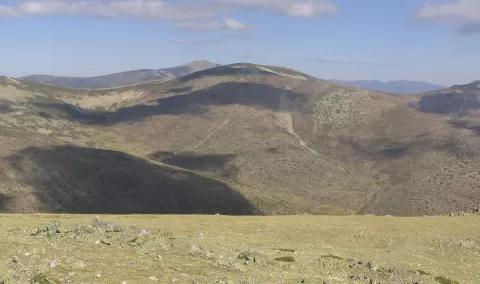
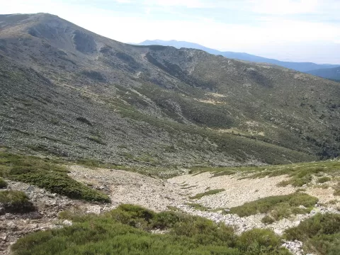
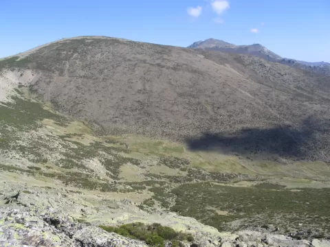
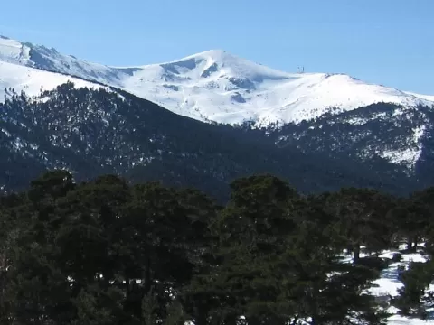
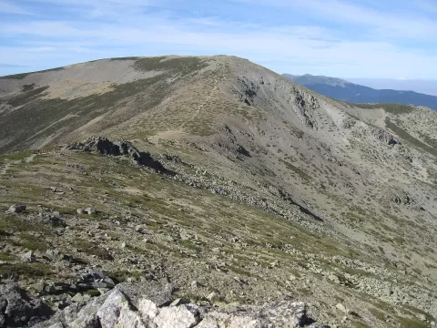
Cerro de Valdemartín
No reviews yet
Do you like this place? Be the first to vote
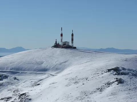
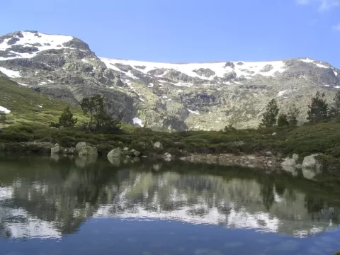
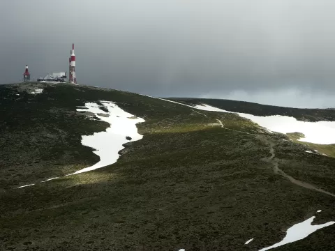
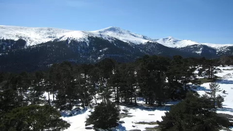
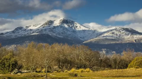
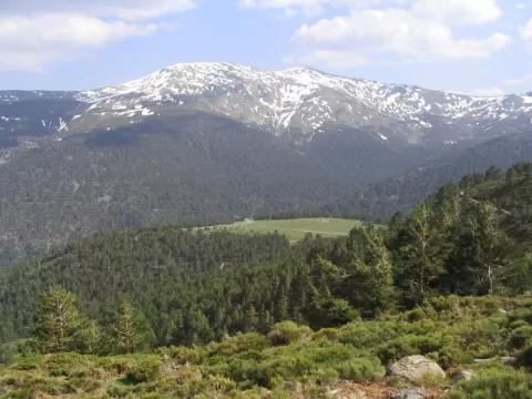
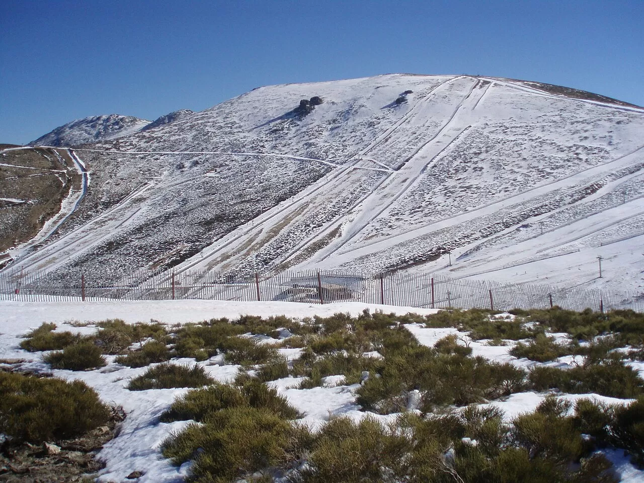
Cerro de Valdemartín, at 2,280 metres, is the second summit of the Cuerda Larga, after the Cabezas de Hierro, in the Sierra de Guadarrama. It lies on the boundary between Manzanares el Real, to the south, and Rascafría, to the north, in the Community of Madrid. It is a massif of gneiss and granite with a rounded profile, visible from far away. Near the summit, at about 2,000 metres, is the Ventisquero de la Condesa, where springs rise that form the River Manzanares.
The ascent starts from the car park of the Valdesquí ski resort, at 1,860 metres, on the north slope. The path skirts the ski runs towards the south-east and reaches the summit in about 3 kilometres, without great difficulty. One of the ski runs is named after it.
From the summit you can see the Lozoya valley, and to the south-west the Cabezas de Hierro appear behind the mountain.
What Cerro de Valdemartín has to offer
More viewpoints in Madrid More hiking trails in Madrid
Best time to photograph Cerro de Valdemartín today, 21 November
- Sunrise8:09 – 9:09golden hour
- Sunset16:53 – 17:53golden hour
- Blue hour17:53 – 18:23at dusk
At sunrise and sunset, low-angled light brings out the landscape's texture. Arrive 20 minutes early to get a good spot.
Hashtags for your photos of Cerro de Valdemartín
Upload your photo with #fotoMap and help more people discover this spot. The one with the most votes becomes the cover photo.
Reviews of Cerro de Valdemartín
Nobody has said what it's like yet. Have you been? Be the first to tell us.
Write a review