 See all 2 photos
Upload your photo
Castillo d'Acher
No reviews yet
Do you like this place? Be the first to vote
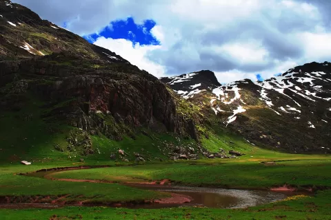
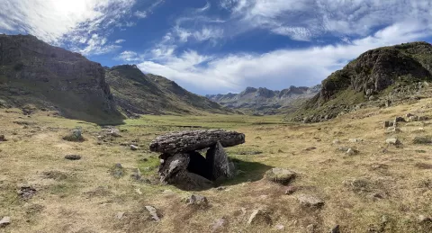
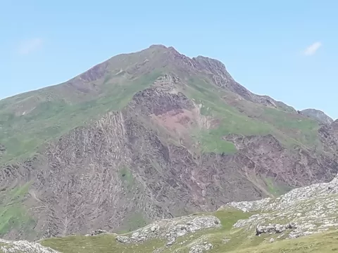
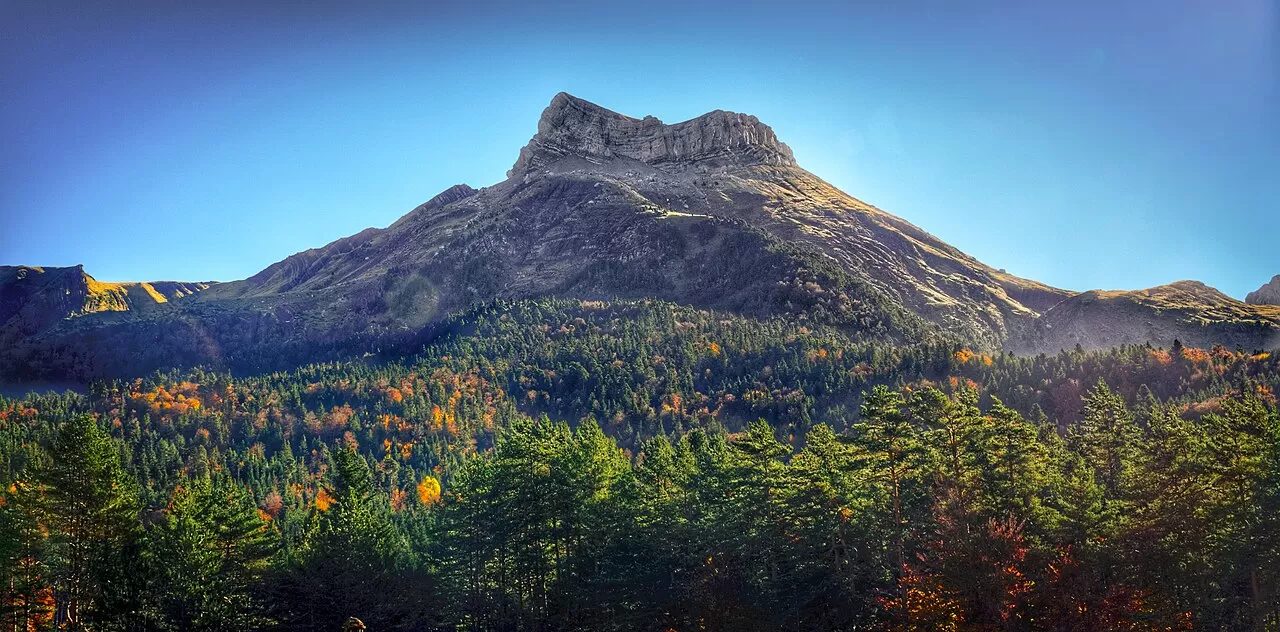
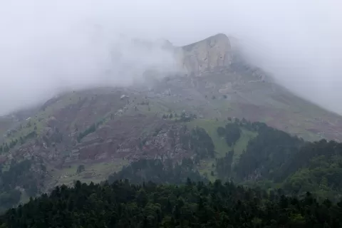
Castillo d'Acher is a 2,384-metre summit above the Selva de Oza, in the Hecho valley (Huesca), in the western Aragonese Pyrenees, within the Valles Occidentales Natural Park. It owes its name, “castle”, to its fortress-like look: the top is a small rectangular valley enclosed on all four sides by a wall of rock. It is a perched syncline.
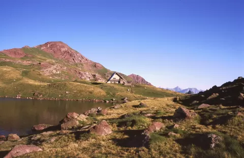
The climb starts at the Oza bridge and follows the GR 11 to the turn-off for Castillo d'Acher, where the gradient gets steeper. It involves around 1,150 metres of ascent and about six hours there and back on the same path, a demanding route. The trail crosses forests of fir, pine and beech.
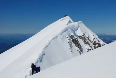
From the top, the view stretches from the ranges of Navarre to the central Pyrenees, and it is the best viewpoint for the north faces of Agüerri and Bisaurín. On the way up, the colour shifts from the green of the forest to reddish slopes, and the summit often holds plenty of snow.
What Castillo d'Acher has to offer
More viewpoints in Huesca More hiking trails in Huesca
Best time to photograph Castillo d'Acher today, 21 November
- Sunrise8:02 – 9:02golden hour
- Sunset16:35 – 17:35golden hour
- Blue hour17:35 – 18:05at dusk
At sunrise and sunset, low-angled light brings out the landscape's texture. Arrive 20 minutes early to get a good spot.
Hashtags for your photos of Castillo d'Acher
Upload your photo with #fotoMap and help more people discover this spot. The one with the most votes becomes the cover photo.
Reviews of Castillo d'Acher
Nobody has said what it's like yet. Have you been? Be the first to tell us.
Write a review