 See all 6 photos
Upload your photo

Cape St. Vincent
No reviews yet
Do you like this place? Be the first to vote
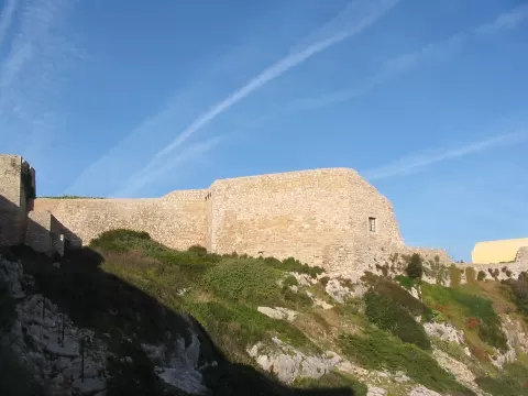
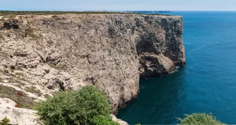
Cape St. Vincent closes off mainland Portugal to the south-west, in the parish of Sagres, municipality of Vila do Bispo, and marks the western limit of the Gulf of Cádiz. Strabo described it as the westernmost point of the inhabited world. It is part of the Southwest Alentejo and Vicentine Coast Natural Park.
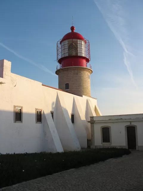
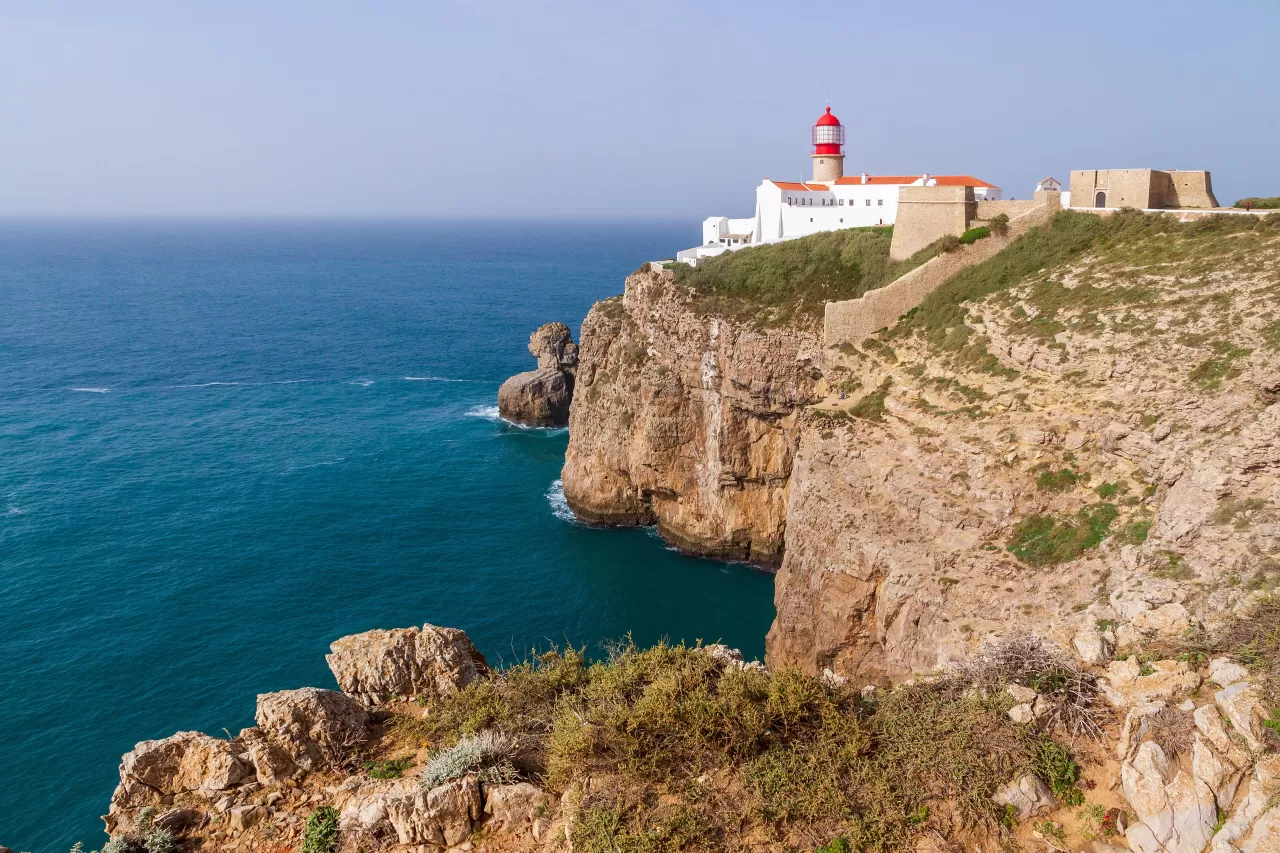
There is a lighthouse at the top of the cape. From the edge you can watch the shipping traffic passing between the Mediterranean and northern Europe. The naval Battle of Cape St. Vincent was fought off it in 1797. The Ponta de Sagres lies about 4 kilometres to the east and 3 to the south.
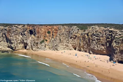
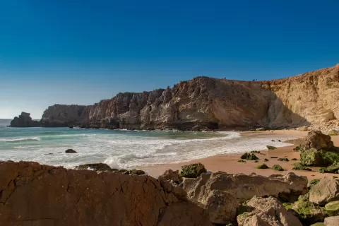
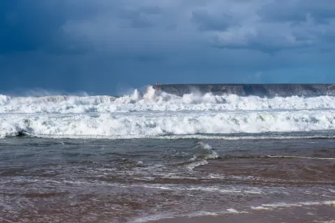
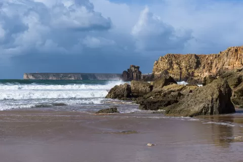
The cape faces west and south, so the sun sets over the sea. You can frame the lighthouse on the cliff together with the rock face from the paths along the edge; with a heavy swell, the waves break at its foot and give scale to the height.
What Cape St. Vincent has to offer
More viewpoints in Faro More beaches and coves in Faro
Best time to photograph Cape St. Vincent today, 21 November
- Sunrise7:20 – 8:20golden hour
- Sunset16:22 – 17:22golden hour
- Blue hour17:22 – 17:50at dusk
At sunset the sea turns orange; at low tide you get reflections on the wet sand.
Hashtags for your photos of Cape St. Vincent
Upload your photo with #fotoMap and help more people discover this spot. The one with the most votes becomes the cover photo.
Reviews of Cape St. Vincent
Nobody has said what it's like yet. Have you been? Be the first to tell us.
Write a review