 See all 6 photos
Upload your photo
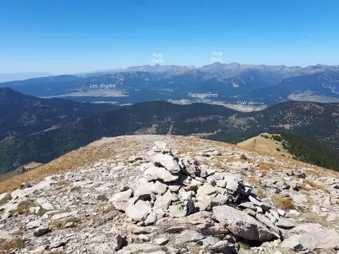
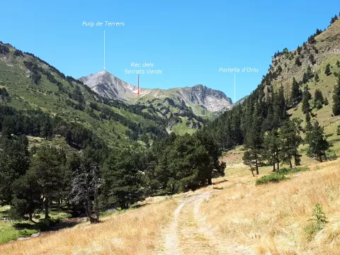
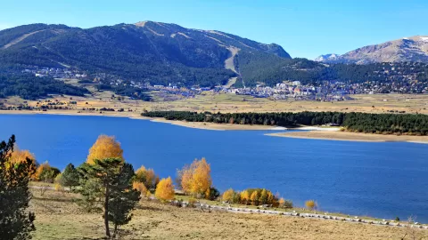
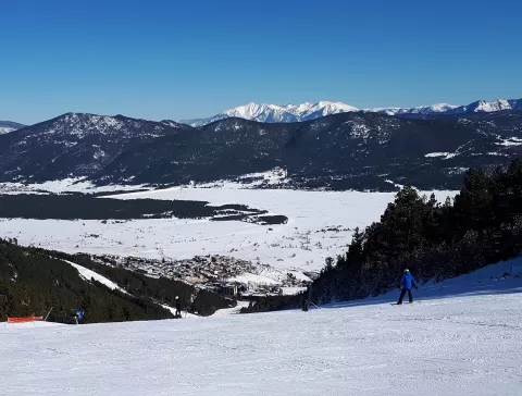
Capcir
No reviews yet
Do you like this place? Be the first to vote
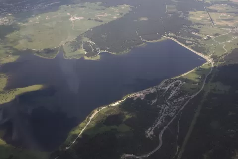
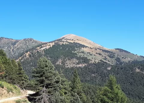
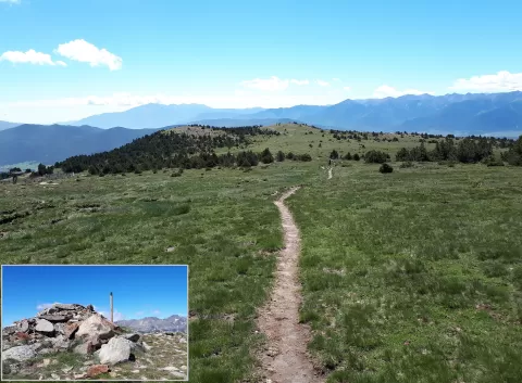
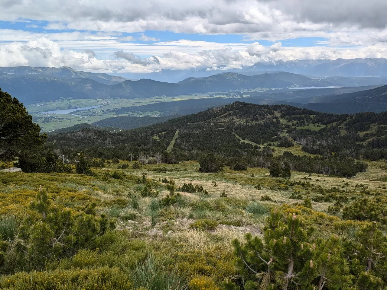
The Capcir is a historical district of the Pyrénées-Orientales that belonged to Catalonia, within the County of Cerdanya, until the Treaty of the Pyrenees. It is a plateau of about 177 km² between 1,300 and 1,700 metres, the highest in the range, and its capital is Formiguères.
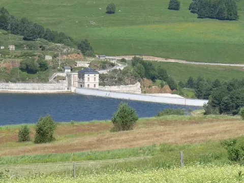
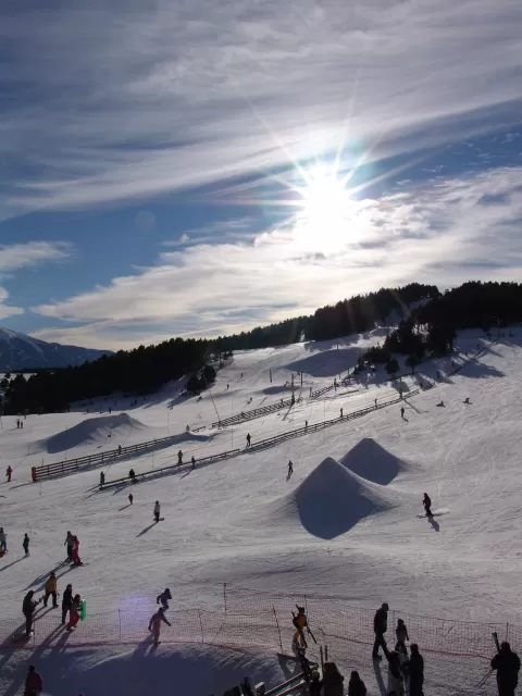
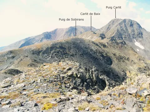
The Aude, which rises in the Carlit massif, crosses it from south to north. Its seven municipalities are Les Angles, Fontrabiouse, Formiguères, La Llagonne, Matemale, Puyvalador and Réal, and four winter resorts make it a centre for cross-country skiing. The Matemale and Puyvalador reservoirs regulate the river.
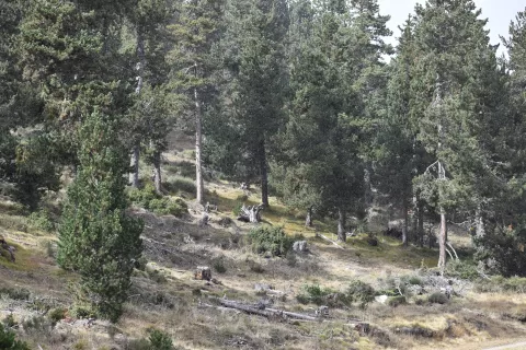
Its harsh winters have earned it the nicknames «little Canada» and «little Siberia». Mountain pine forests and the Arctic plant Ligularia sibirica, which has one of its last refuges in western Europe here, complete the landscape.
What Capcir has to offer
More viewpoints in Pyrénées-Orientales More hiking trails in Pyrénées-Orientales
Best time to photograph Capcir today, 21 November
- Sunrise7:50 – 8:50golden hour
- Sunset16:24 – 17:24golden hour
- Blue hour17:24 – 17:55at dusk
At sunrise and sunset, low-angled light brings out the landscape's texture. Arrive 20 minutes early to get a good spot.
Hashtags for your photos of Capcir
Upload your photo with #fotoMap and help more people discover this spot. The one with the most votes becomes the cover photo.
Reviews of Capcir
Nobody has said what it's like yet. Have you been? Be the first to tell us.
Write a review