 See all 6 photos
Upload your photo
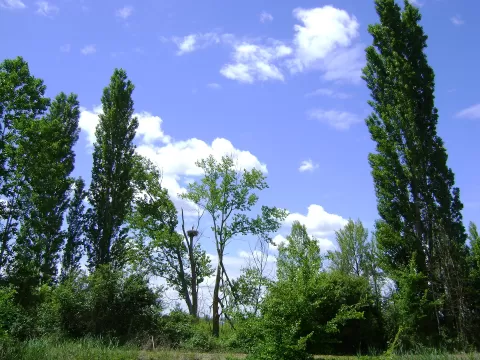
Canal de Castilla
No reviews yet
Do you like this place? Be the first to vote
- Monument
- Old town
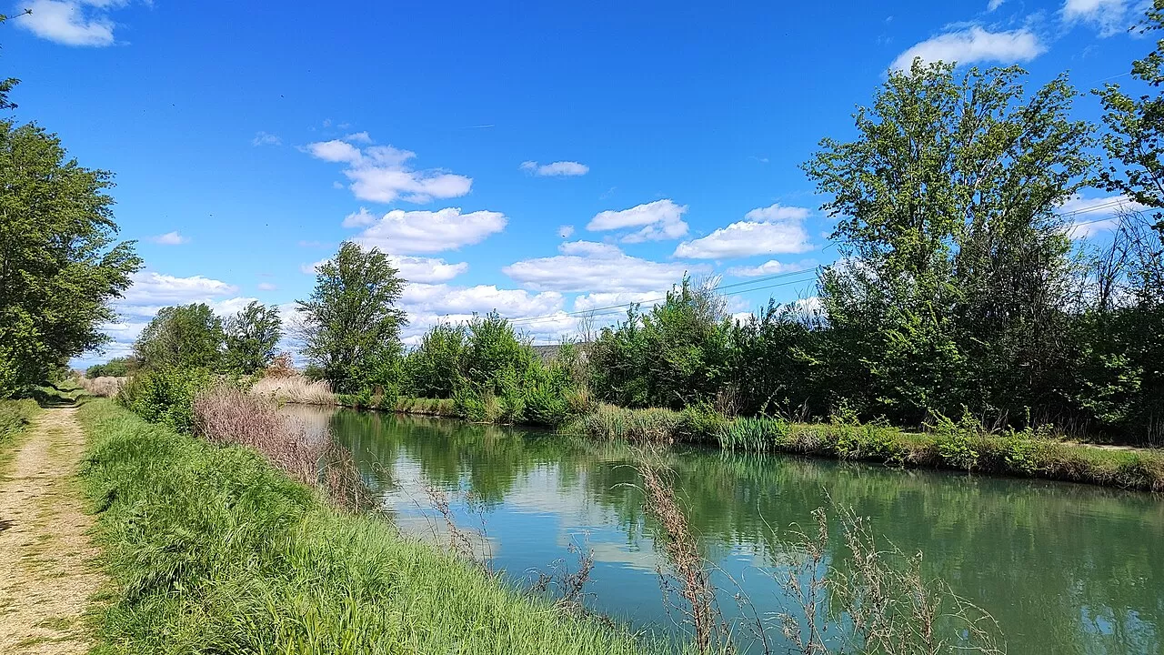
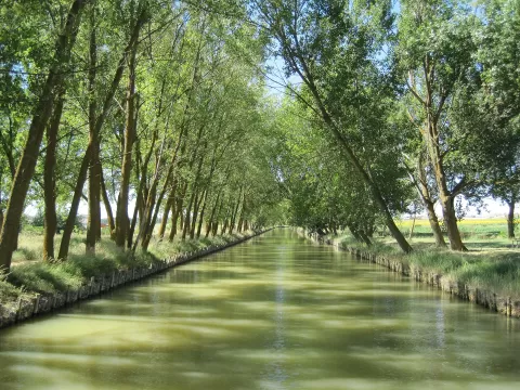
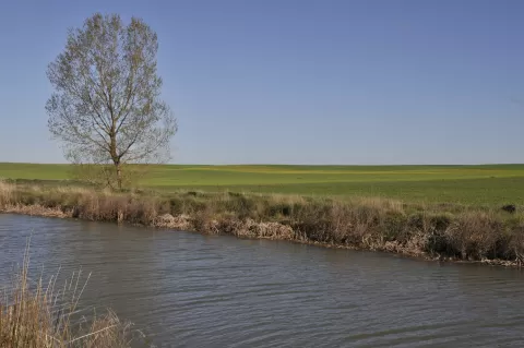
The Canal de Castilla was built between 1753 and 1849 to carry wheat from the plateau by water. It is 207 kilometres long in the shape of an inverted Y, with three branches, the North, the Campos and the South, which overcome 150 metres of difference in height with 49 locks. It begins in Alar del Rey, takes water from the Pisuerga and passes through 38 municipalities in Palencia, Valladolid and Burgos. It has been a Site of Cultural Interest since 1991.
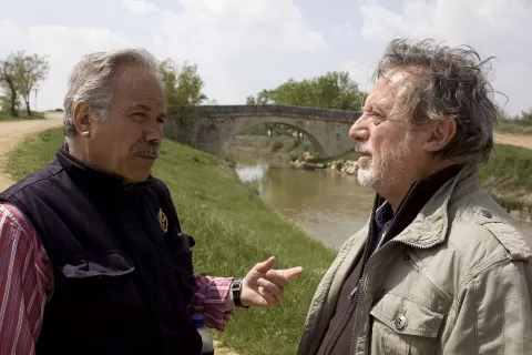
Its towpaths can be followed on foot or by bike. From the Medina de Rioseco basin, with grain warehouses and a flour mill, the tourist boat Antonio de Ulloa sets off along the Campos branch.
In Frómista, locks 17 to 20 form four consecutive steps, the best-known shot. The still water reflects the sky first and last thing, and in autumn the trees along the banks change colour.
Best time to photograph Canal de Castilla today, 21 November
- Sunrise8:15 – 9:15golden hour
- Sunset16:52 – 17:52golden hour
- Blue hour17:52 – 18:23at dusk
In the blue hour, with the street lights on and the sky still blue, the streets look like a postcard.
Hashtags for your photos of Canal de Castilla
Upload your photo with #fotoMap and help more people discover this spot. The one with the most votes becomes the cover photo.
Reviews of Canal de Castilla
Nobody has said what it's like yet. Have you been? Be the first to tell us.
Write a review