 See all 6 photos
Upload your photo
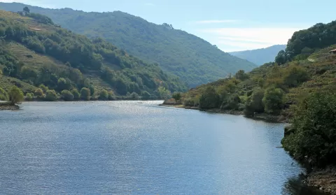
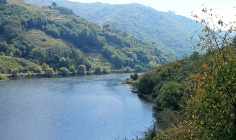
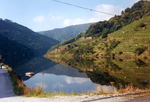
Belesar reservoir
No reviews yet
Do you like this place? Be the first to vote
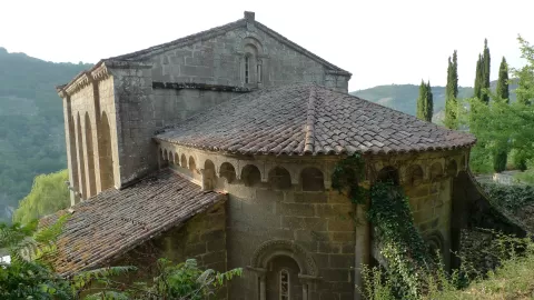
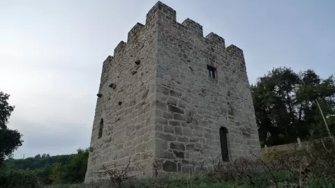
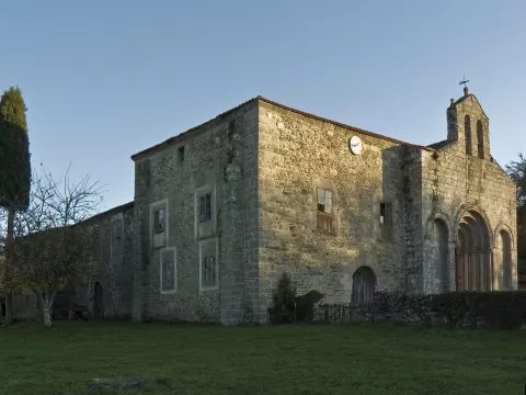
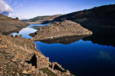
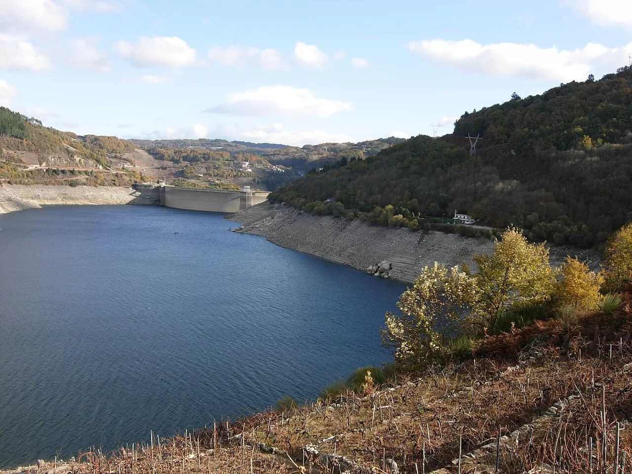
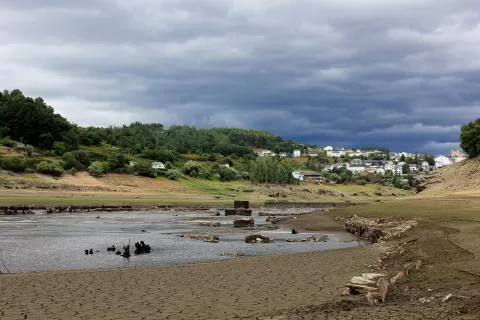
Belesar Reservoir dams the Miño in the province of Lugo and stretches across Taboada, Chantada, O Saviñao, Paradela, O Páramo, Guntín and Portomarín. The dam, a concrete arch 129 metres high from its foundations, was built between 1957 and 1963. The water covered almost 5,000 hectares and several villages; the medieval centre of Portomarín was moved uphill, to Monte do Cristo.
The hamlet of Belesar spans both banks, between Chantada and O Saviñao. From there the PR-G 183 trail sets off, 4.6 km long with 344 metres of ascent, among wineries and vineyards, and the Camino de Invierno to Santiago passes through here.
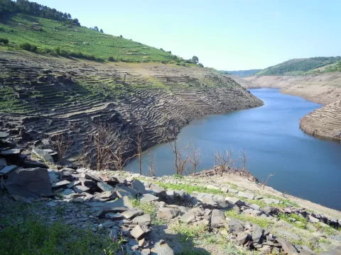
The photo is the vineyard terraces running down to the river on the sunny slopes of both banks. When the reservoir is drained, remains of the flooded villages emerge, as happened in 2010 with the ruins of Villamarín.
What Belesar reservoir has to offer
Best time to photograph Belesar reservoir today, 21 November
- Sunrise8:29 – 9:29golden hour
- Sunset17:03 – 18:03golden hour
- Blue hour18:03 – 18:34at dusk
The still water early in the morning gives you perfect reflections.
Hashtags for your photos of Belesar reservoir
Upload your photo with #fotoMap and help more people discover this spot. The one with the most votes becomes the cover photo.
Reviews of Belesar reservoir
Nobody has said what it's like yet. Have you been? Be the first to tell us.
Write a review