 See all 6 photos
Upload your photo
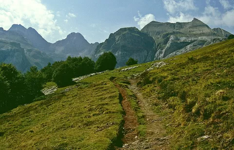
Aspe peak
No reviews yet
Do you like this place? Be the first to vote
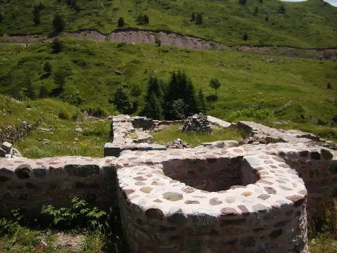
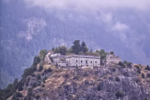
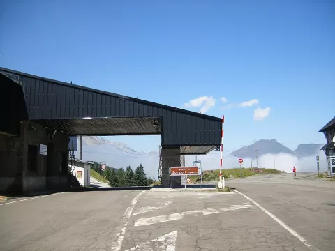
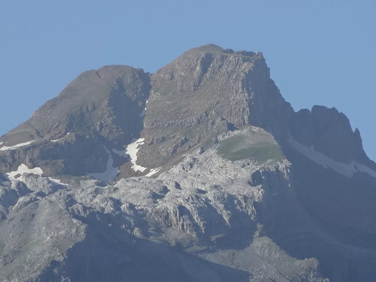
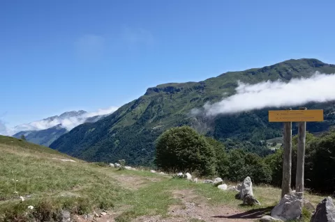
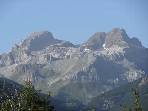
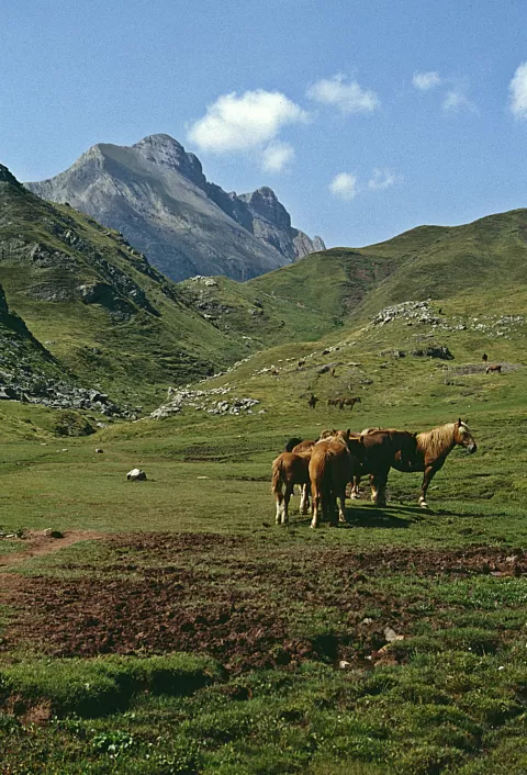
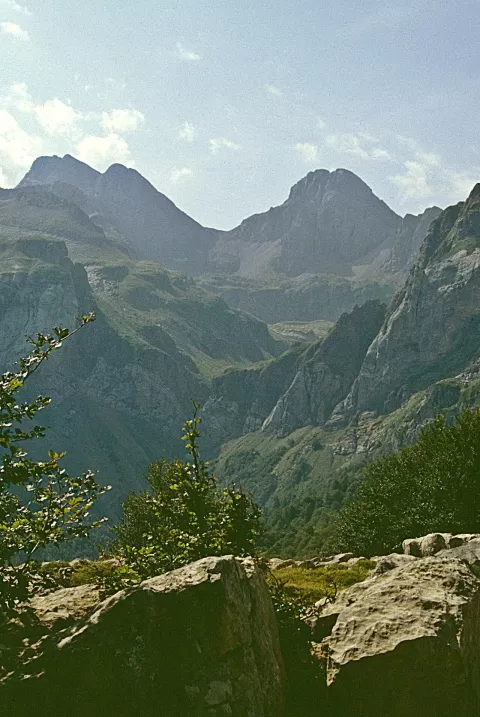
Aspe peak, also known as the peak of the Garganta de Aísa, stands 2,645 metres high and is one of the tallest summits in the Valles Occidentales Natural Park, in the Huesca Pyrenees. It rises between the Aísa valley and the Candanchú area, close to the French border.
The easiest route starts from Candanchú. From Aísa, the route follows the track towards the Napazal flats, crosses the River Estarrún and climbs a waymarked path to the Garganta de Aísa col and the summit. Another route goes from the Rigüelo refuge via the Aspe breach, with about 1,180 metres of ascent. It is worth checking the high-mountain forecast before setting off.
From the summit you can see Collarada to the east. With snow, its profile from the Aísa valley at sunrise is the photo.
What Aspe peak has to offer
More viewpoints in Huesca More hiking trails in Huesca
Best time to photograph Aspe peak today, 21 November
- Sunrise8:01 – 9:01golden hour
- Sunset16:34 – 17:34golden hour
- Blue hour17:34 – 18:05at dusk
At sunrise and sunset, low-angled light brings out the landscape's texture. Arrive 20 minutes early to get a good spot.
Hashtags for your photos of Aspe peak
Upload your photo with #fotoMap and help more people discover this spot. The one with the most votes becomes the cover photo.
Reviews of Aspe peak
Nobody has said what it's like yet. Have you been? Be the first to tell us.
Write a review