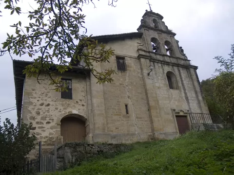
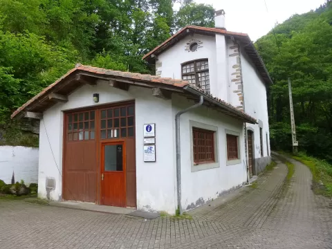
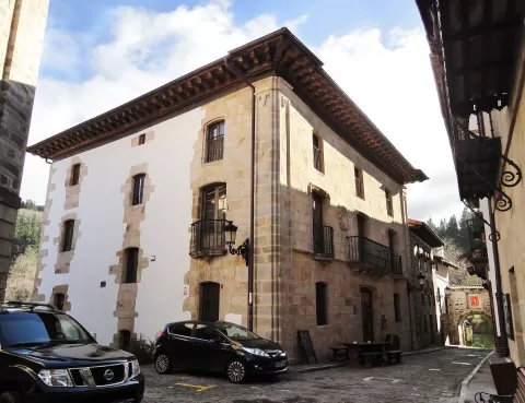
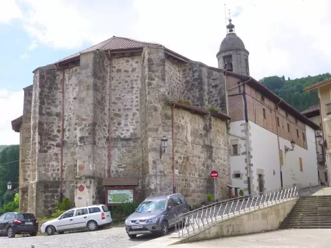
 See all 6 photos
Upload your photo

Aizkorri-Aratz Natural Park
No reviews yet
Do you like this place? Be the first to vote
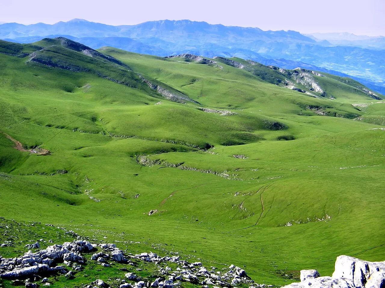
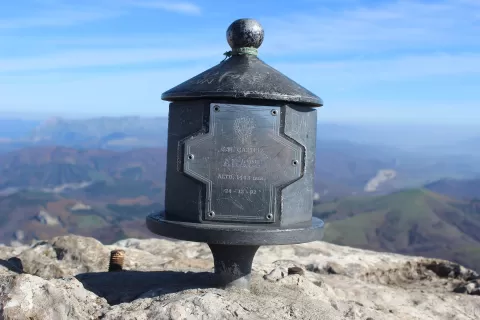
Aizkorri-Aratz is a natural park of 15,919 hectares between southern Gipuzkoa and northern Álava, declared in 2006. It is closed off by a limestone wall running between Aratz and the Aloña range, with the highest points in the Basque Country: Aitxuri, at 1,551 metres, and Aizkorri, at 1,528. Together with Aralar it forms a natural corridor between the Pyrenees and the Cantabrian Mountains.
The main gateways are Zegama and the Sanctuary of Arantzazu, in Oñati, and on the Álava side Zalduondo and Araia, where the park's visitor centre is. From Arantzazu you can climb to the Urbia meadows, at 1,134 metres, with shepherds' huts, the hermitage of Andra Mari and an inn dating from 1925.
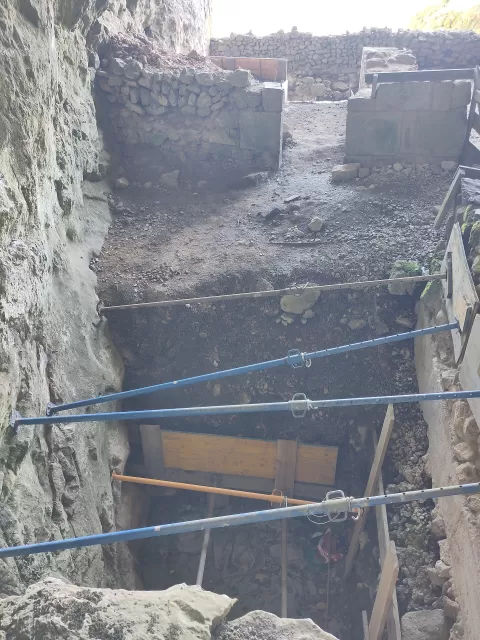
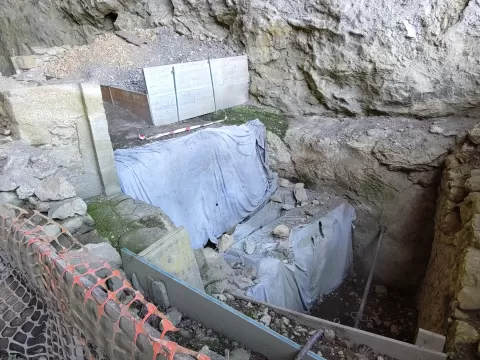
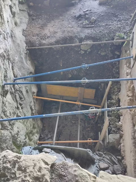
At San Adrián, erosion has opened a cavity in the rock that you can walk through, and the Camino de Santiago passes through it. Beech and oak woods on the slopes and rocky pastures above give the park its contrast.
What Aizkorri-Aratz Natural Park has to offer
More hiking trails in Gipuzkoa
Best time to photograph Aizkorri-Aratz Natural Park today, 22 November
- Sunrise8:11 – 9:11golden hour
- Sunset16:41 – 17:41golden hour
- Blue hour17:41 – 18:12at dusk
Golden hour gives the most beautiful light: warm, soft and with long shadows.
Hashtags for your photos of Aizkorri-Aratz Natural Park
Upload your photo with #fotoMap and help more people discover this spot. The one with the most votes becomes the cover photo.
Reviews of Aizkorri-Aratz Natural Park
Nobody has said what it's like yet. Have you been? Be the first to tell us.
Write a review