 See all 6 photos
Upload your photo
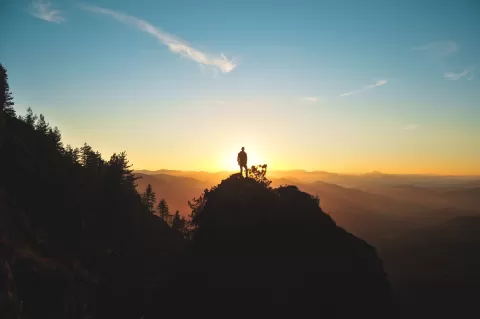
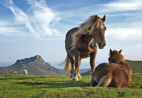
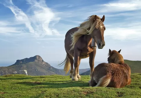
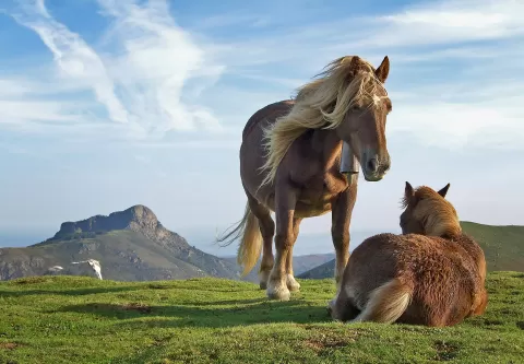
Aiako Harria Natural Park
No reviews yet
Do you like this place? Be the first to vote
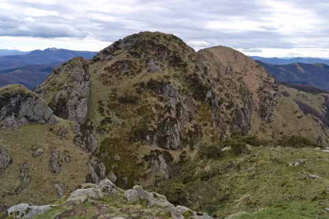
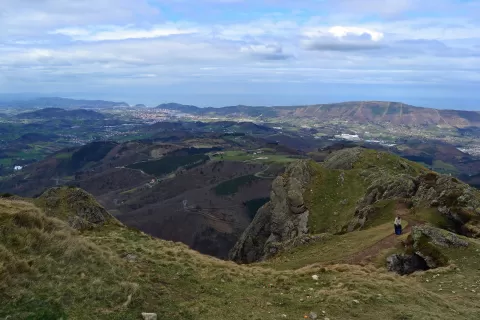
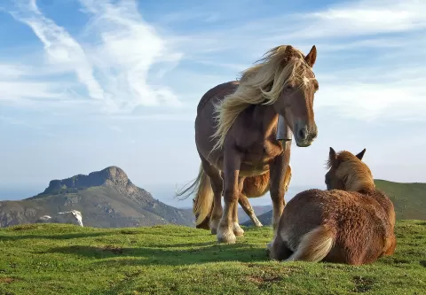
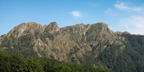
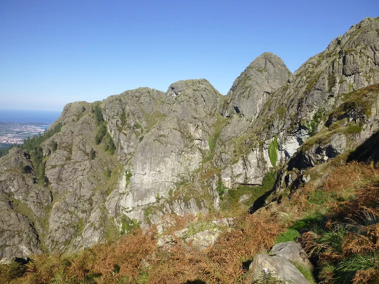
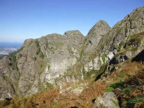
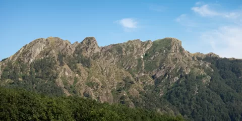
Aiako Harria Natural Park, Peñas de Aya in Spanish, covers 6,105 hectares at the eastern end of Gipuzkoa, between the Bidasoa and Urumea rivers, with its southern boundary in Navarre. It is the western end of the Pyrenees, a Palaeozoic massif with the oldest rocks in the region. It was protected in 1995 and is shared by Errenteria, Oiartzun, Irun, Hernani and San Sebastián.
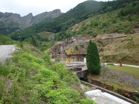
The Arditurri mines were worked from Roman times, linked to the port of Oiasso, and remained active until 1984: some 2,500 years of silver, iron, lead, zinc and fluorite. Among the pine plantations survive the oak and beech wood of Añarbe, the Pyrenean oak wood of Endara and the beech wood of Oianleku.
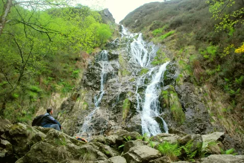
The summit of Aiako Harria, at about 837 metres, is the park's skyline. The forests of Añarbe and Oianleku give the photos from inside it, and the remains of Arditurri, those of its mining history.
What Aiako Harria Natural Park has to offer
More hiking trails in Gipuzkoa
Best time to photograph Aiako Harria Natural Park today, 22 November
- Sunrise8:09 – 9:09golden hour
- Sunset16:37 – 17:37golden hour
- Blue hour17:37 – 18:08at dusk
Golden hour gives the most beautiful light: warm, soft and with long shadows.
Hashtags for your photos of Aiako Harria Natural Park
Upload your photo with #fotoMap and help more people discover this spot. The one with the most votes becomes the cover photo.
Reviews of Aiako Harria Natural Park
Nobody has said what it's like yet. Have you been? Be the first to tell us.
Write a review