 See all 6 photos
Upload your photo
Aguieira Dam
No reviews yet
Do you like this place? Be the first to vote
- Monument
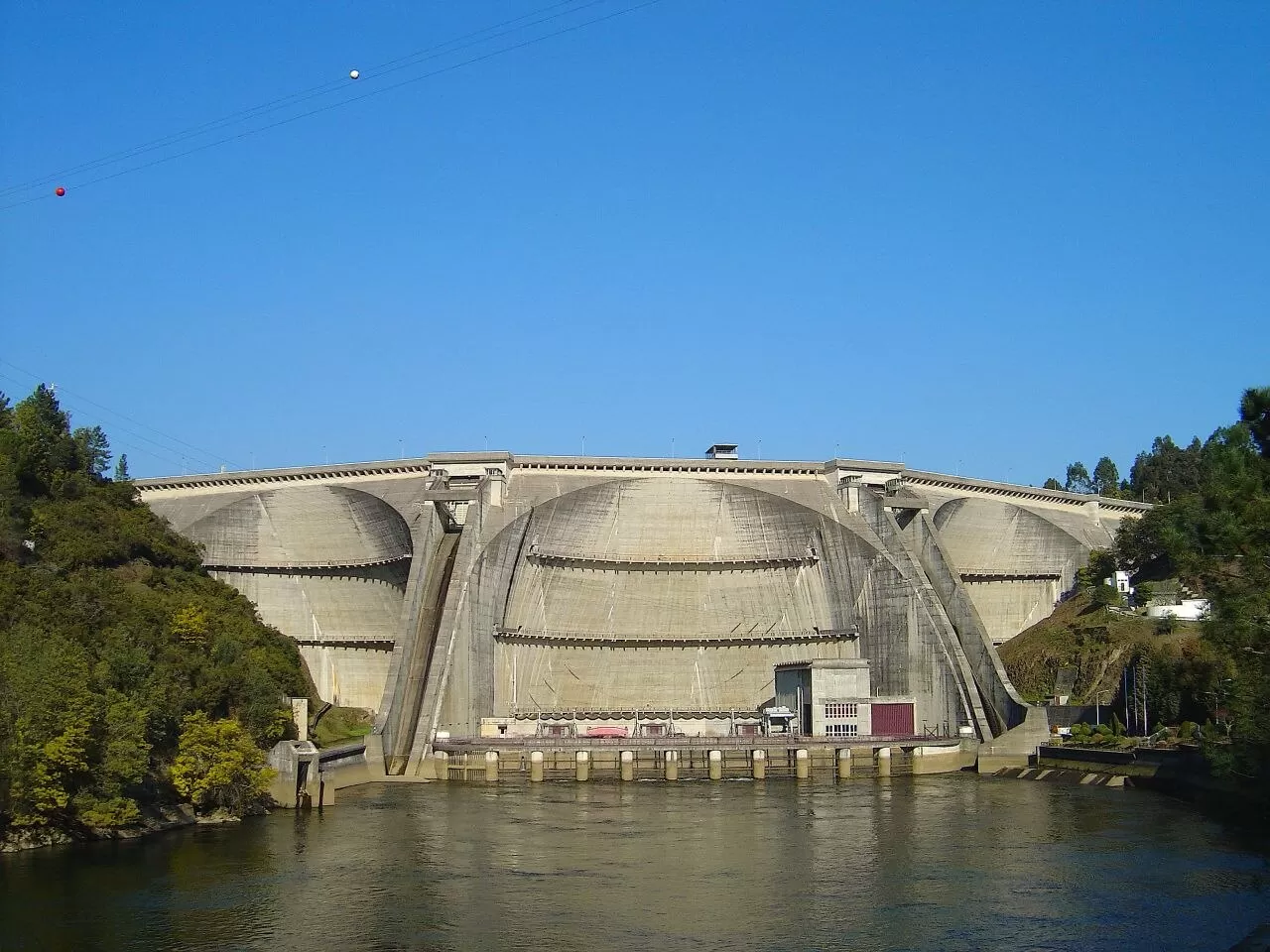
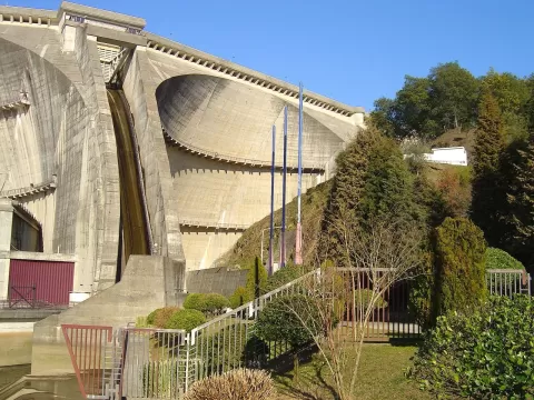
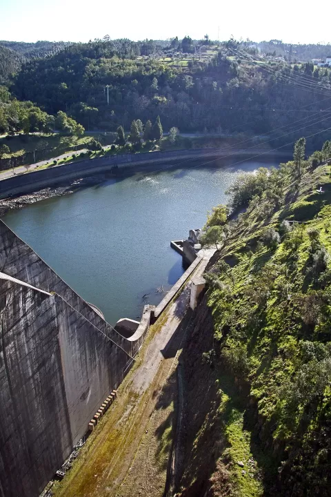
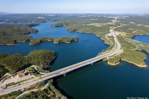
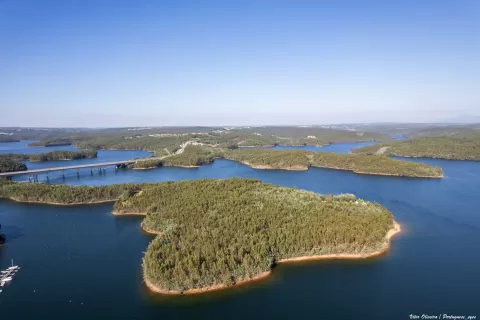
The Aguieira Dam, also known as Foz do Dão, closes the River Mondego about 2 km downstream of the mouth of the Dão, between the municipalities of Penacova (Coimbra) and Mortágua (Viseu). It was built between 1973 and 1981 to generate electricity, irrigate and control flooding in the Lower Mondego.
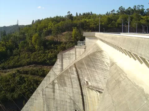
It is a concrete multiple-arch dam: three arches and two central buttresses, where the two spillways are. It stands 89 metres high above its foundations and is 400 metres long at the crest. The reservoir covers about 20 km² and stretches across six municipalities.
The shape of the three arches is what sets it apart, and it is best appreciated from downstream. When the spillways are open, the water falling beside the buttresses gives the most spectacular photo.
Best time to photograph Aguieira Dam today, 21 November
- Sunrise7:25 – 8:25golden hour
- Sunset16:11 – 17:11golden hour
- Blue hour17:11 – 17:41at dusk
In the blue hour, with the lighting on, the monument stands out against the sky. Early in the morning there are fewer people.
Hashtags for your photos of Aguieira Dam
Upload your photo with #fotoMap and help more people discover this spot. The one with the most votes becomes the cover photo.
Reviews of Aguieira Dam
Nobody has said what it's like yet. Have you been? Be the first to tell us.
Write a review